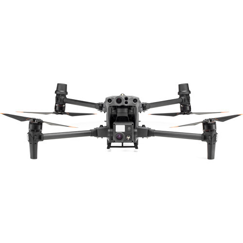
Accurate aerial surveying and true-to-life 2D/3D mapping are combined within the Zenmuse P1 Gimbal for Matrice 300 RTK with DJI Care Enterprise Basic from DJI. Extremely accurate topographical mapping and site recreation are extremely useful to a host of industries and professions, and the Zenmuse P1 can capture them with speed and precision. The 45MP full-frame sensor can achieve real-time position and orientation data with 1.2" horizontal and 2" vertical accuracy without the need for a GCP, taking low-noise images at a blistering speed of 0.7 seconds per image. For realistic structure recreation, the Zenmuse P1 supports Smart Oblique Capture, rotating automatically at different angles as needed. All of this imaging is kept in sync with the rest of your drone using DJI's TimeSync 2.0 technology.
- Mission result files are automatically associated with the Mission name and time
- Centralized storage location for photos, GNSS data, and TimeStamps.MRK files
- Image metadata contains the camera's parameters and RTK status
- 2D Orthomosaic: For medium to large-area operations, generate orthomosaics without GCPs (Ground Control Points)
- 3D Oblique: Oblique images from multiple angles are easily acquired for professions that require centimeter-level detail, such as urban planners
- Detailed Modeling: From a safe distance, capture and recreate vertical and slated surfaces with fine texture and detail
- Real-time Mapping: Using the DJI Terra app, you can gather geographic information in real time
- Supports 24mm, 35mm, and 50mm lenses with DJI DL mounts
- Global mechanical shutter with 1/2000 second speed


